

Scharhörn Island
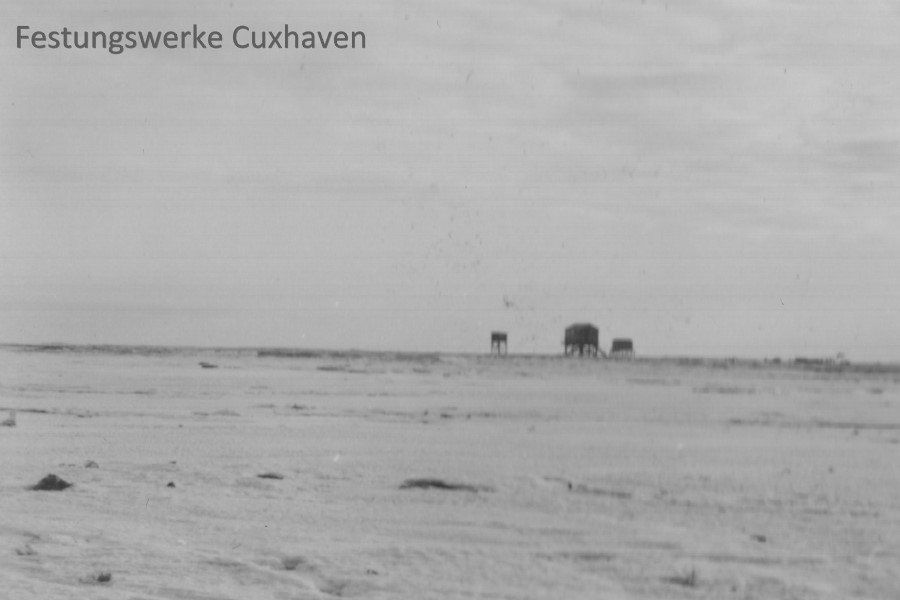
Die Stelzenhäuser auf der Insel Scharhörn.
Quelle: M.B.
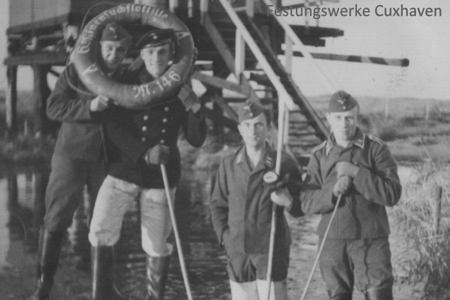
Mixed crew on ScharhörnSource: MB
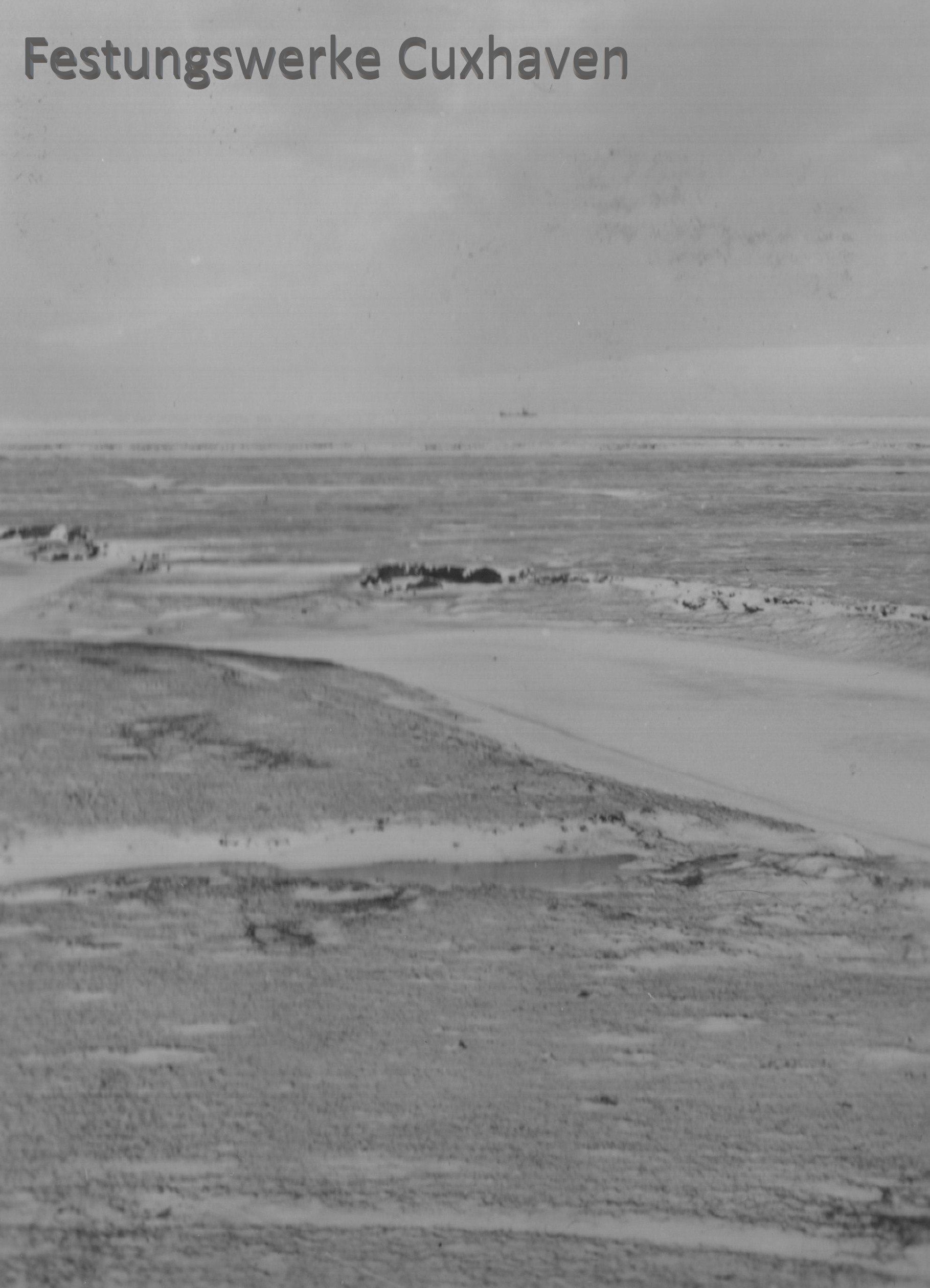
View from Scharhörn to the mouth of the Elbe in winterSource: MB
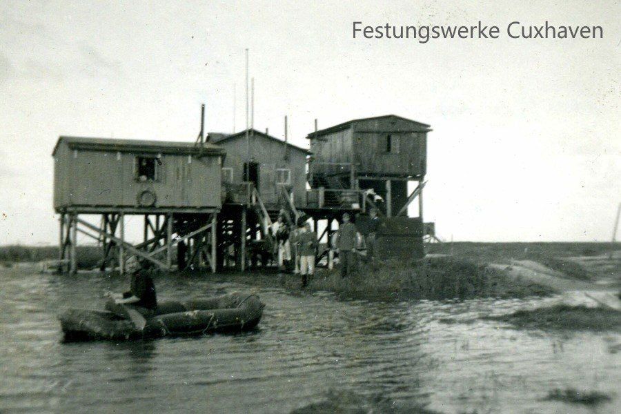
The stilt huts on Scharhörn. Everything is probably still under water after a storm surge. Storm surges in particular often cause damage to the equipment parked below or tear it away. Source: Cuxhaven City Archives, photo ID 33d-23899c
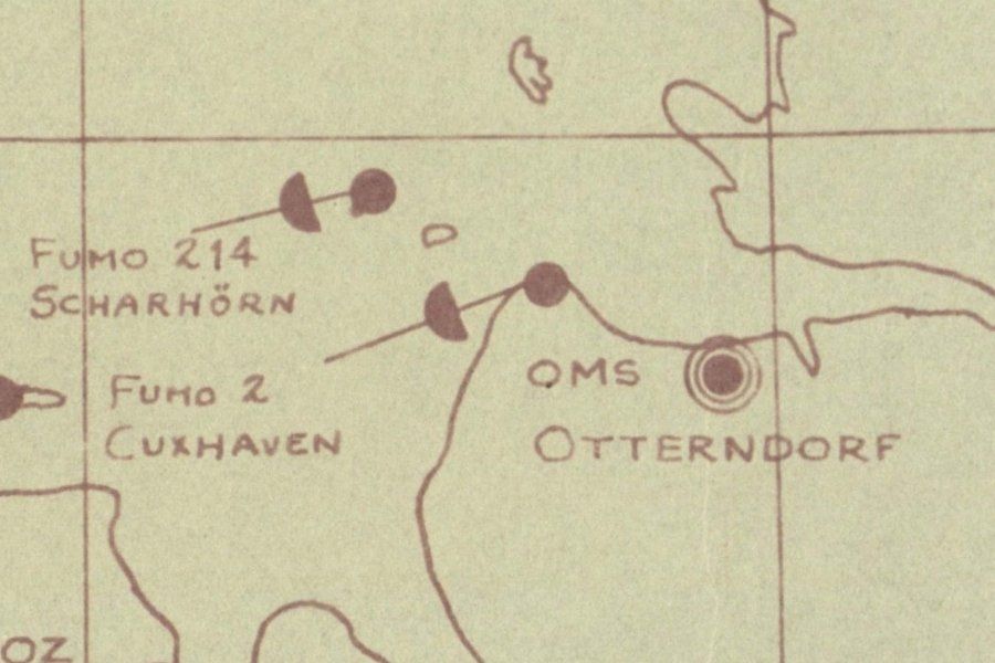
Excerpt from a secret English map of radio measuring stations on the German coast. A FUMO 214 is described here on Scharhörn. In this case, it would be a "Würzburg Riese" measuring device for locating aircraft. However, there is no indication as to whether the device actually ended up there. There are no corresponding foundations.

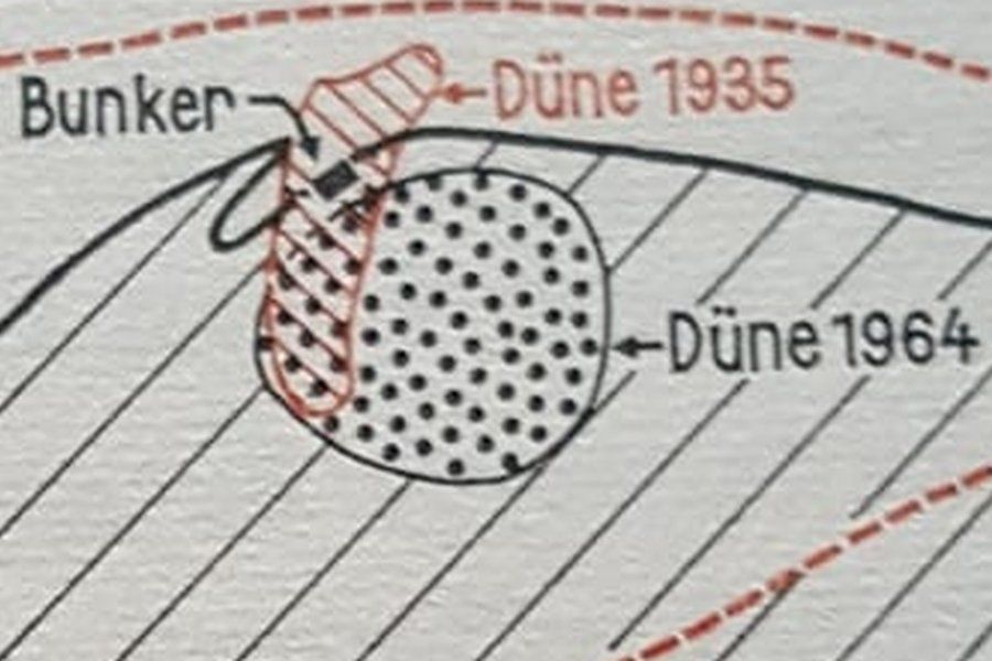
Map section from an aerial photographic atlas from 1967, here a bunker is described that is said to have stood on the north side of the dune island. Nothing of this is recognizable today either.Source: Documents from the Neuwerk Research Group